


Land Use in Inner Forests
Spatial land use analyses are frequently used in plans to protect, manage, and restore forests. Complementing these with social analyses* can help gather additional information on who uses the land and how. In some cases, this may involve identifying informal or extra-legal users of the land, like slum-dwellers and squatter groups, or displaced and migrant communities whose land tenure rights may be constrained. These may be some of the most at-risk groups given their lack of resources or vulnerability due to factors like race, ethnicity, education, etc. In Mumbai, India, for example, governmental action to protect mangrove forests resulted in the destruction of slums, whereas high-end development continued to be allowed in mangrove areas.
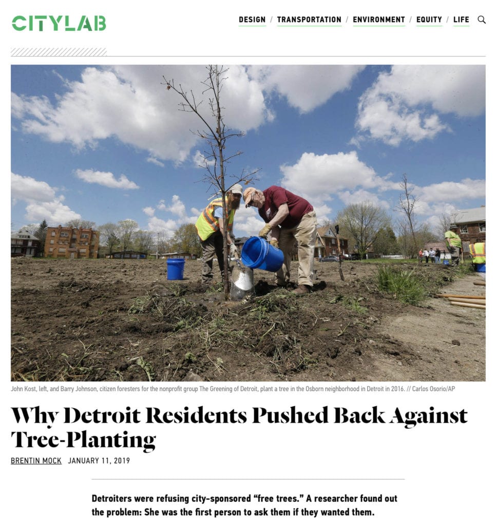
Failing to apply a social equity lens to land use decisions can risk inefficient decision making for tree stewardship or site selection for parks and other green spaces. Consider urban greening efforts in Detroit, U.S.: Between 2011-2014, 24% of residents contacted refused to plant trees on their streets as a part of a local non-profit organization’s initiative because “they were left out of the decision-making process” and distrusted relevant authorities in the community.
Resources
Know Your City | Slum/Shack Dwellers International (SDI)
Mapping Social Landscapes Guide | World Resources Institute, 2018
Where to Plant and Why | Vibrant City Labs
Roadmap for Inclusive Planning | C40, 2019
Handbook for Preparing a Resettlement Action Plan | International Financial Corporation (IFC), 2002
*See Slide on Use of Socioeconomic Information for more details.