Developed by: PlanIT GEO
Has been adapted for use globally; Developed originally for the United States
Why Use the Tool
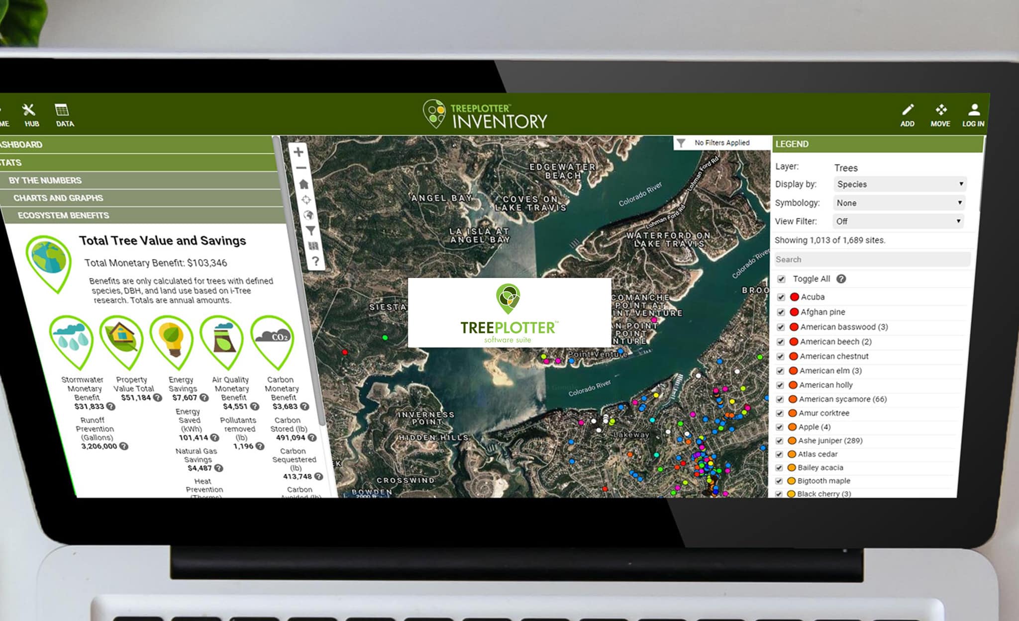
Tree Plotter is a web-based urban forest management software program, compatible with i-Tree, ESRI, and other mapping APIs. Built by certified arborists and foresters, it is used for tree inventory and management projects by government, private business, and non-profit organizations.
Recommended Tool
Evan Sims, Sales Director: evansims@planitgeo.com
Input Data Required
Requires data from tree inventory of the area
Outputs
Web- and mobile-accessible tree inventory and management information (can be accessed by multiple users within an organization)
Past Use Cases
Used in a variety of countries, including in the United States, United Kingdom, Romania, Australia, South Africa, and some countries in Latin America.
Additional Guidance:
More questions? Visit the support site.


