Developed by: USGS Rocky Mountain Geographic Science Center & Colorado State University
Launched in 2010; Updated in 2015
Why Use the Tool
Social Values for Ecosystem Services (SolVES) helps assess, map, and quantify the perceived social values of ecosystem services, including food and fresh water as well as cultural services like aesthetics and recreation. SolVES calculates a quantitative, 10-point, social-value metric, known as the “value index”, using a combination of spatial and non-spatial responses to public value and preference surveys. The GIS application was developed in response to the need for quantified and spatially explicit measures of social values in ecosystem service assessments.
Recommended Tool
Ben Sherrouse, Geographer: bcsherrouse@usgs.gov
Darius Semmens, Research Physical Scientist: dsemmens@usgs.gov
Input Data Required
Survey data of people’s perceived social values of ecosystem services
Outputs
Maps and data reflecting a “value index” that calculates local social values for ecosystem services in a specific project area
Past Use Cases
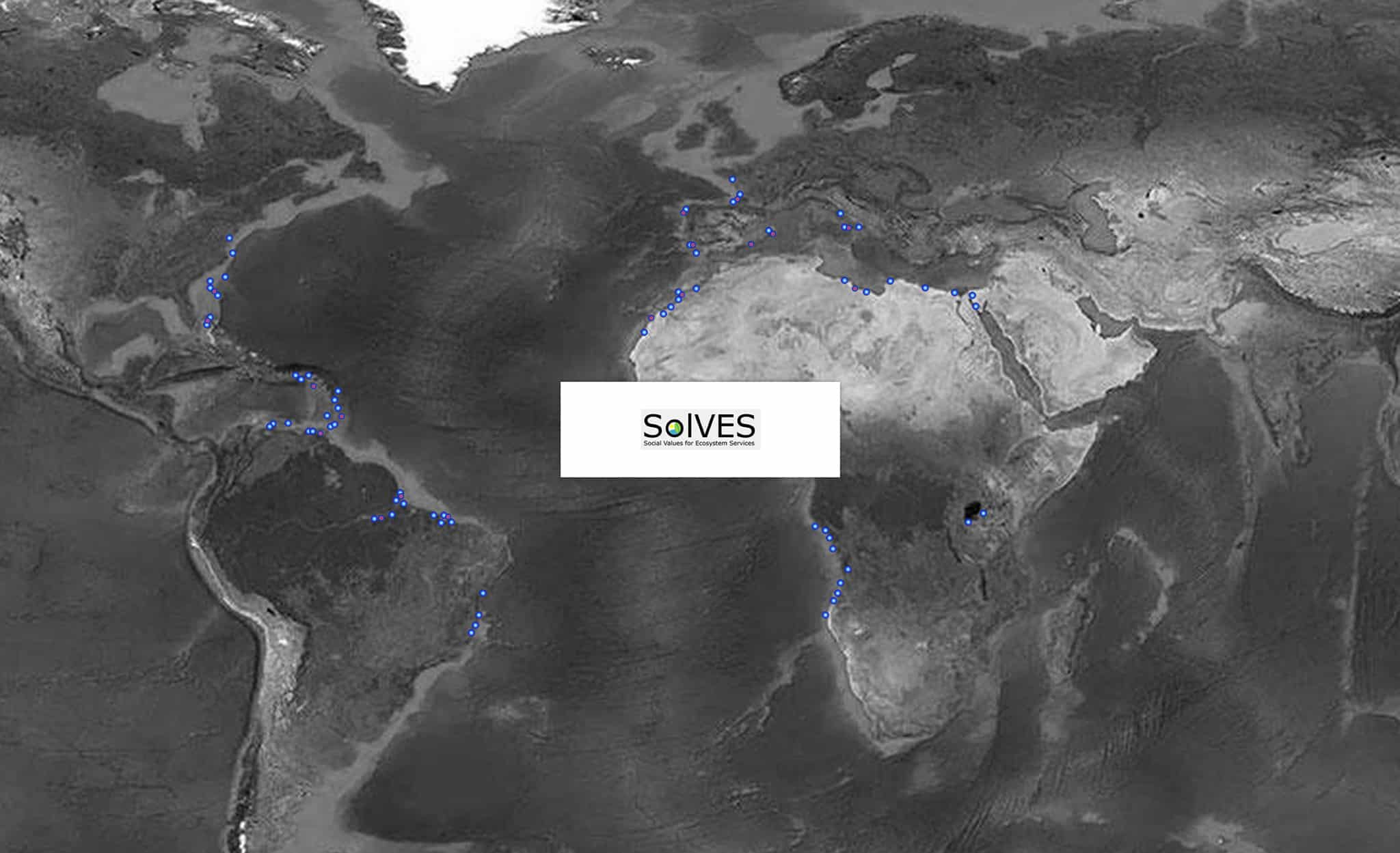
Tested in different regions in the United States, Australia, Peru, China, Japan, and Korea. Read some of the case studies here.
Case Study
Using Photography to Understand Residents’ Social Values in an Urban Park
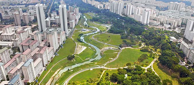
In 2015, a group of scholars conducted a study in the Wusong Paotaiwan Wetland Park, located in the Baoshan District of Shanghai, China, where the Yangtze and Huangpu rivers converge. The purpose of this study was to deepen people’s understanding of the connections between city dwellers and the natural environment. Specifically, the scholars intended to study the social values of urban ecosystem services provided by the Wusong Paotaiwan Wetland Park as perceived by residents of Shanghai.
Traditionally, there is a survey component in SolVES to find people’s perceived social value of ecosystem services, yet the scholars adopted a unique method, visitor-employed photography. The research participants—graduate students at the East China Normal University—were trained to take photos with an Apple iPhone and ISO application Map Plus at the Wusong Paotaiwan Wetland Park and were asked to fill out a post-experience survey incorporating seven social value types: aesthetic, educational, recreation, historic, biodiversity, life sustaining, and therapeutic. After that, the researchers conducted photo content analysis and applied SolVES to map the value index.
The analysis and mapping results indicated that the Wusong Paotaiwan Wetland Park is successful in building its aesthetic value and supports biodiversity, life sustaining, and recreation values. Yet, the history and educational merits of this park were largely overlooked by the visitors and need to be strengthened in future design to avoid a disconnect between the services defined by the planner and appreciated by the general public.

Source: Sun, F., Xiang, J., Tao, Y., Tong, C., and Che, Y. 2019. “Mapping the social values for ecosystem services in urban green spaces: Integrating a visitor-employed photography method into SolVES.” Urban Forestry & Urban Greening 38: 105-113.
Additional Guidance:
