Developed by: Food and Agriculture Organization of the United Nations (FAO)
Launched in 2014; Updated on a regular basis.
Why Use the Tool
Collect Earth, developed as part of the Food and Agriculture Organization of the United Nations’ Open Foris suite, enables data collection through Google Earth. Users can analyze high and very high-resolution satellite imagery for a wide variety of purposes, including:
- Support multi-phase land-use/land change assessments
- Monitoring agricultural land and urban areas
- Validation of existing maps
- Collection of spatially explicit socio-economic data
- Quantifying deforestation, reforestation and desertification
Open Foris continues to release new features and programs like Collect Earth Online and Collect Earth Mobile.
Recommended Tool
Fred Stolle, WRI, for support in organizing a Collect Earth analysis: fstolle@wri.org
Outputs
Land-use, land-cover maps and estimate of number of trees outside forests
Past Use Cases
Over 30 countries around the world. WRI has tested Collect Earth in a variety of countries, including India, Rwanda, Kenya, Madagascar, Ethiopia, El Salvador, and Honduras. Read more here.
Case Study
Using Collect Earth to Measure Changes in Tree Cover in El Salvador’s Cerrón Grande Landscape
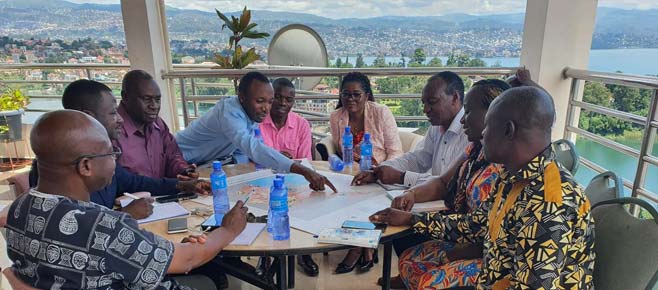
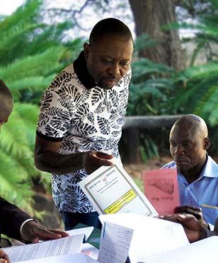
In 2011, the government of El Salvador committed itself to promoting restoration in degraded areas. To measure its progress, the country needs a cost-effective monitoring system that can track changes in tree cover. As a result, the national government piloted Collect Earth in partnership with World Resources Institute for the Cerrón Grande Landscape in a ‘mapathon’ setting where local participants are brought together to collectively produce map data for a chosen area.
The objective of the mapathon was to explore changes in forest cover between 2000 and 2016, as well as to estimate the number of trees outside forests. The information is used to develop a land cover map, which serves as a baseline to analyze natural corridors, carbon and other important variables in the landscape.
The Collect Earth data showed that forest cover since 2000 had been reduced by 1,785 hectares or 2.6 percent of the total coverage, and the settlement area is increasing significantly. Since the government is focusing on its restoration efforts in less forested areas, the land cover map helped point to areas with potential for methods such as agroforestry and silvopasture. The land cover map is especially useful in El Salvador, since official land use maps are not updated regularly.
In summary, the Collect Earth data offered the government an expedited alternative to analyze land use changes and to understand the strategic locations for restoration.
Tree Cover as a Percentage in El Salvador’s Cerrón Grande Watershed

Source: Reytar et al. Forthcoming 2020. “Guide to Collect Earth Monitoring.” World Resources Institute.
Additional Guidance:
Read the Collect Earth User Manual.
