The Cities4Forests Toolbox: Connecting Cities with Tools to Understand and Manage Forests
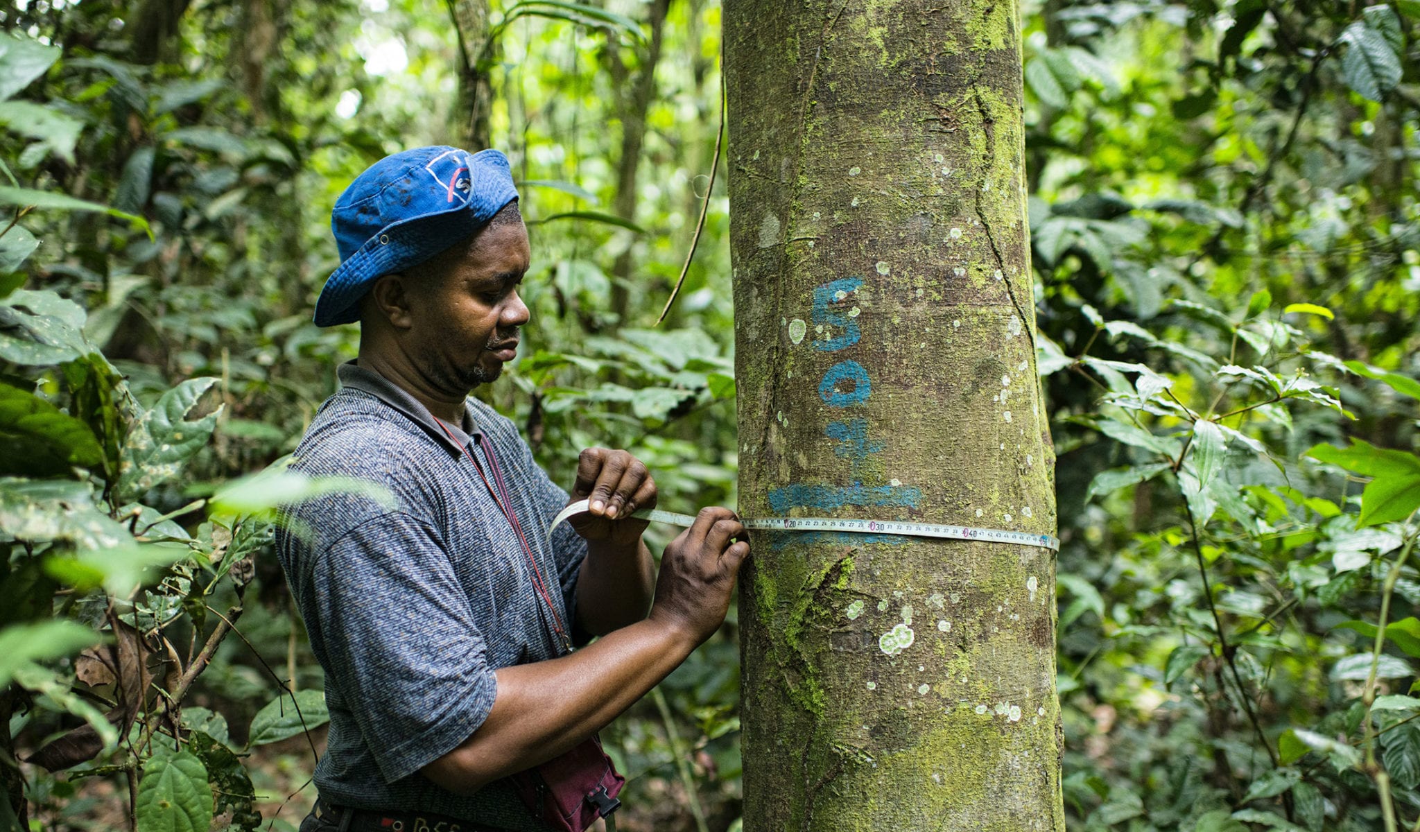
Mérida, a city in Mexico’s lush Yucatán Peninsula, is home to 2.3 million trees, which cover over 20 percent of the metropolitan area. Merida’s officials know that these trees provide benefits to the residents, but until recently they didn’t know how much these benefits were worth or how they were distributed across the city. That made it difficult for the officials to know where to focus their limited budget and tough for them to advocate for more resources.
Thankfully, there’s a tool for this. With help from USDA Forest Service, Mérida officials conducted an analysis using i-Tree Eco, a free tool that quantifies the climate, health, and water benefits that trees and forests provide to cities. The analysis found that Mérida’s trees sequester over 16,000 tons of carbon each year. In other words, these 2.3 million trees offer a carbon value of US$648 million to the city. Mérida used this information to recommend three main steps to increase the value of its stock of urban trees:
- Intensify the urban reforestation program in quantity, quality, tree species selection, and size of trees used.
- Implement a program to improve the health of smaller trees.
- Better regulate tree removal in new development projects.
Tools like i-Tree Eco provide a unique opportunity for city leaders to ground their policies, plans, and investment decisions in local scientific analysis. The i-Tree Suite, which includes i-Tree Eco and other forest analysis tools like i-Tree Hydro, has been used by over 320,000 users around the world. Yet, the United States is home to almost 90 percent of those users.
Cities in Latin America, Africa, and Asia often lack access to tools regularly used in Europe and North America. Tools can be expensive, or the data needed to run the tools may be unavailable for the area of interest. Sometimes the challenge is simply knowing which of the hundreds of tools now online best fit cities’ needs.
Introducing the Cities4Forests Toolbox
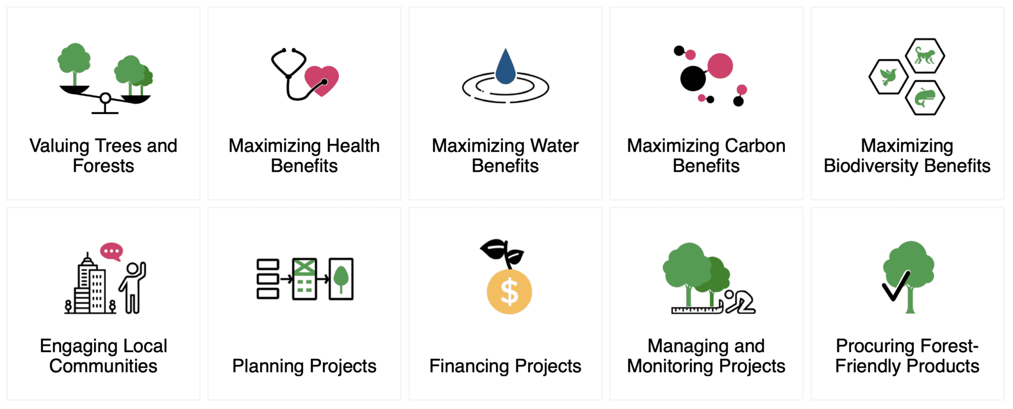
Through extensive research, consultations with experts, and discussions with tool developers, Cities4Forests compiled 32 of the best tools to help cities include forests, trees, and green infrastructure in their decision-making, planning, and investments. The Cities4Forests Toolbox covers a range of topics, from valuing trees and forests, to maximizing key benefits (such as biodiversity, health, water, and carbon), to planning and managing forest-related projects inside and outside their boundaries. Most importantly, these tools are highly recommended, internationally available, low or no cost, and accessible to non-experts and experts alike.
Cites4Forests is also partnering with tool developers like the i-Tree team from USDA Forest Service and Davey Trees to help increase the use of these tools in Latin America, Africa, and Asia. The USDA Forest Service has already adapted i-Tree Eco for general use in Australia, Canada, Colombia, Europe, Mexico, and South Korea, and Cities4Forests is working to encourage adoption of the tool with member cities in Mexico and Brazil. In Mérida, where city officials were already familiar with i-Tree, Cities4Forests helped strengthen long-term capacity by training municipal staff to use the tool and confidently measure progress around their recommended action steps.
Similarly, Cities4Forests is working with cities in Indonesia, India, and Madagascar to start monitoring urban tree cover using a tool called Collect Earth where participants use satellite imagery to quantify vegetative cover.
We encourage cities to explore the best tools for them in the Cities4Forests Toolbox and to reach out to info@cities4forests.com or their Cities4Forests focal points to start using the tools to improve their decision-making.
Try out these five tools to get started!
- Want to understand the benefits that trees provide to your city? Explore i-Tree Eco
- Want to create your city’s first tree cover map? Explore Collect Earth
- Want to design an urban forest management plan for your city? Explore the Urban Forest Management Toolkit
- Want to engage communities in your work? Explore Mapping Social Landscapes
- Want to procure sustainable wood products? Explore the Sustainable Procurement Guide
